Canada is large, I know you know this, but it’s really large, like huge, and in cycling along the northern shores of Lake Superior you really get a sense of the vastness and splendor of our country. Especially on a bicycle where you can relish in unobstructed views and enjoy the clean fresh air.
It’s been my experience that there are two groups of cyclists, those that want to go from point A to B as fast as they can, and those who stop along the way to explore, discover, and learn. I used to be in the first group, but then I realized I was missing out on gems and treasures and fun! So I slowed down, I stopped, and I discovered a whole new world full of culture, history, interesting people, art, beauty, Finnish pancakes and.. apple fritters. If you are in the fast group, well, the rolling terrain, glimpses of Lake Superior, beauty of forest, and rocks in every colour you can imagine will still entertain as you roll along parallel to Lake Superior. But you’re missing out on some wonders too.

It is 716 km from Thunder Bay to Sault Ste. Marie which we pedaled in just over 5 days. Thunder Bay itself offers a plethora of highlights; and visiting the Terry Fox Memorial is one of them. It is said that Terry Fox, running a marathon a day with the goal of crossing the country, is one of the first events that brought Canadians together as Canadians. We were all following his journey, cheering him on, and sending him as much strength and love as we could as he ran with his distinctive skip and look of determination. One can only imagine all the emotions he experienced in his 143 day quest, but in standing at the memorial I was overcome with hope, sadness, grit, and beauty. The panoramic views of Lake Superior from this monument are also worth sitting down for and really relishing.

Day 1: Thunder Bay to Red Rock
-
- 107 km – 549 m elevation gain
- Map
KM 0
On our journey out of Thunder Bay we rode Lakeshore Dr. and were entertained by all the unique pieces of art that decorated the route. Painted tires that marked “Frog parking only, others will be Toad”, statues of angels and voyeurs, inuksuks, bears.. no wait, that’s not a statue but an actual black bear! There is lots of wildlife in the area, and the noise from the traffic often keeps them off the road, but please do socially distance from these majestic animals. Give a friendly wave, and wish each other bon voyage.

Red Rock Interpretive Centre
KM 107
Red Rock is 7.5 km off the main highway, but it is a wonderful place to spend the night. A great place to stay in Red Rock is The Quebec Lodge! It sits right on Lake Superior and has been called Northern Ontario’s Best B&B! The town itself is stunning and sits under a mountain of, you guessed it, red rocks. They have a beautiful board walk along Lake Superior and an interpretive center that is a must see!
Day 2: Red Rock to Terrace Bay
-
- 123 km – 1,396 m elevation gain
- Map
KM 124
It’s easy to lose time in Nipigon, especially if you stop at one of the diners and get talking to locals. I greatly enjoyed my latte from La Luna Café and learning about the influx of adventure seekers to the town. The highlight for me though was the Bridgeview Lookout Tower with its endless views of water and sky. Take the 1st St. exit for a break from the highway and explore the murals and town streets; Railway St. will take you out the other end of town and right past the Lookout Tower.

KM 198
Rossport is about 1 km off the Trans Canada Highway and worth the side step. This quaint town has the wonderful Serendipity Gardens Café, a used book store, pottery. The slower pace of life is welcomed.
Continuing along Trans Canada for another 32 km you’ll come across Aguasabon Falls and Gorge which is a great place to relieve the butt from the saddle and do a little walk. Coming to life in the 1940s due to Hydro development, the falls offer a different perspective to the vegetation as you feel the spray from the water and get into the rocks. It’s a short walk of only 1 or 2 km, but well worth the stop.

KM 230
All the communities along the Canadian shores of Lake Superior look similar at first glance. Many were born because of mills and the houses and buildings have similar architecture, but once you meander through the streets you’ll notice each town has a unique energy and personality. Terrace Bay might stand out a bit more than the others though because of its lighthouse, beckoning you to stop, shop, and eat; do it, you won’t regret it.

Day 3: Terrace Bay to White River
-
- 168 km – 1,718 m elevation gain
- Map
KM 400
After having visited White River I insist that everyone I know traveling by it stop. They have done a great job of highlighting the origins of Winnie the Pooh which happened right there in White River! Trust me, stop, it’s fun and only takes about 15 minutes, and it’s right on the highway. Oh, and spoiler alert, Winnie was a real bear!

Mural in White River
Day 4: White River to Michipicoten
-
- 96 km – 606 m elevation gain
- Map
KM 490
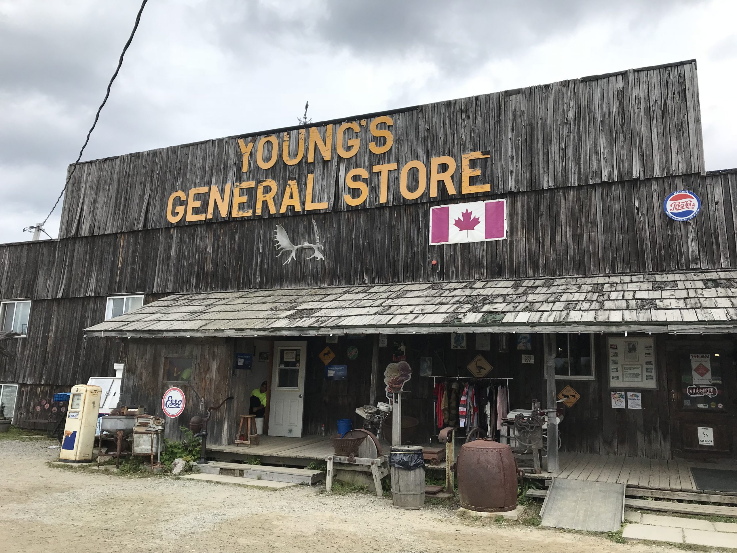
Wawa is also one of my favourite places to stop. The giant goose is cool, the totem poles and funky Muskoka chairs brighten your day. Learning about the people who lived there is interesting, shopping at Young’s General Store is a must. Here’s a fun fact, did you know that the road didn’t exist until the 1960s? Food Alert! 8 km down the road from the Wawa tourist office is Kinniwabi Pines restaurant. If you can plan ahead to be there for dinner you’ll thank me! The patio overlooks the rugged landscape, the food is exceptional, and they have fortune cookies; who doesn’t want to know that “if you’ve got it flaunt it”?

Day 5: Michipicoten to Harmony Beach
-
- 177 km – 1,679 m elevation gain
- Map
KM 517
Twenty six kilometers outside of Wawa prepare for your breath to be taken away. At the top of another rolling climb you’ll be rewarded with the best view en-route of Lake Superior as you approach Old Woman Bay. You’ll want to use your brakes the whole way down hill to savour the grandiose views of this iconic lake. There is an entrance to the beach with inviting water enticing you to jump in. Enjoy the rest.

Old Woman Bay
KM 640
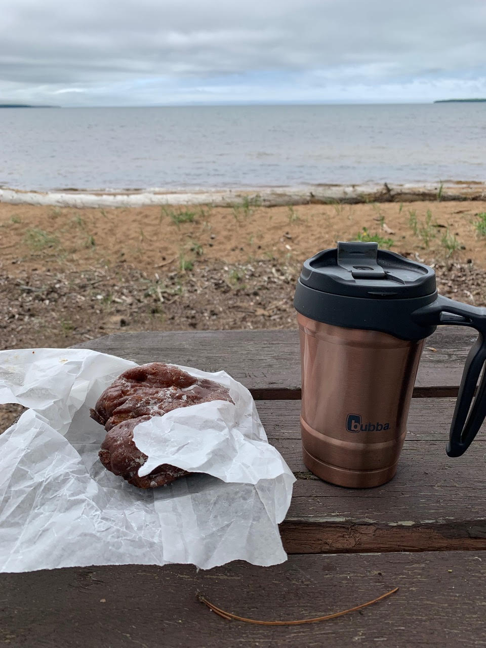
Everyone who knows me has heard about the apple fritters at the Batchawana Bay gas station. They are amazing! They are also huge, and my attempt to share half with a friend was a bust, they are just that good! They are made by the owners of the Voyageur’s Lodge and if you are in luck the owners will be having a slow day and answer all your questions about the voyageur’s routes and lifestyle and tell you stories of other cyclists they’ve met from around the world.

KM 667
We arrived at Harmony Beach at sunset, maybe that is why I have such fond memories. Several of our days had been cloudy and it was wonderful soaking our tired legs in the lake and watching the sun wink us good night. I’m sure all sunsets along Lake Superior are like this, how can they not be? Superior is a wonderous and magical lake that offers a reflection of our days; and there is no shortage of parks and preserved lands from which to experience them.

KM 716
Sault Ste. Marie is the next city and a good place to finish a week of cycling. There are several parks to camp at along the lake to shorten the riding days, add in some other activities like hiking or kayaking, and to spend more time exploring every nook and cranny. It’s recommended to book accommodations in advance though as they fill up quick and non-camping options are often far apart. Ensure you have more than enough supplies too in case your rides need to be shortened. There are several sections over 100 km long that don’t have amenities between them.

There were many times on our journey in Northern Ontario that we felt energy in the air and were overcome with sudden emotions. It was not lost on us that it was not that long ago that the lay of these lands was very different and inhabited by Indigenous groups and ways of life. Maybe that is one of the beauties of traveling by bike, you are exposed and aware and more in sync with the land around you; and you are traveling at a speed that you can catch these moments and ponder their meanings.


