Difficulty: Hard
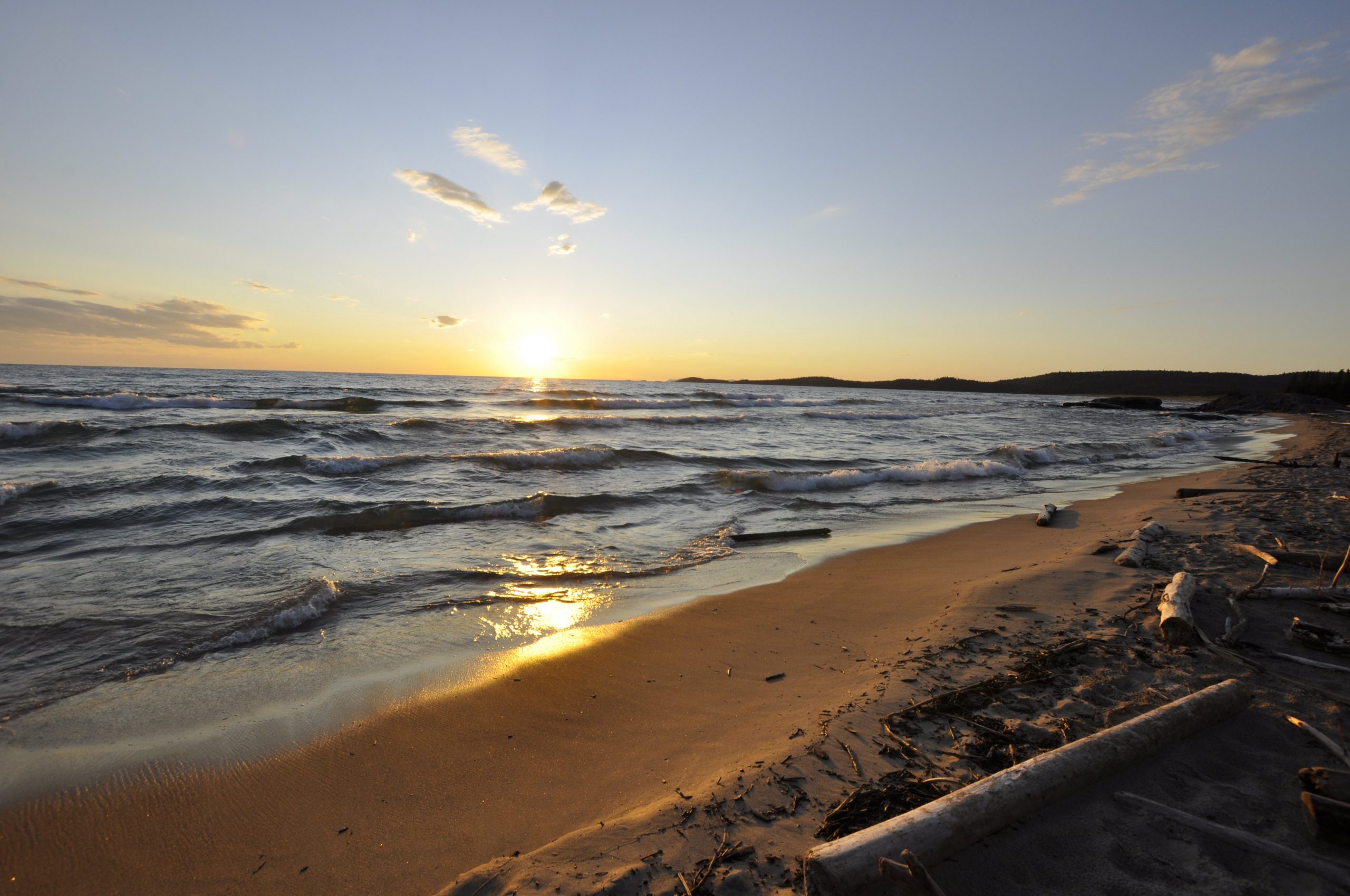
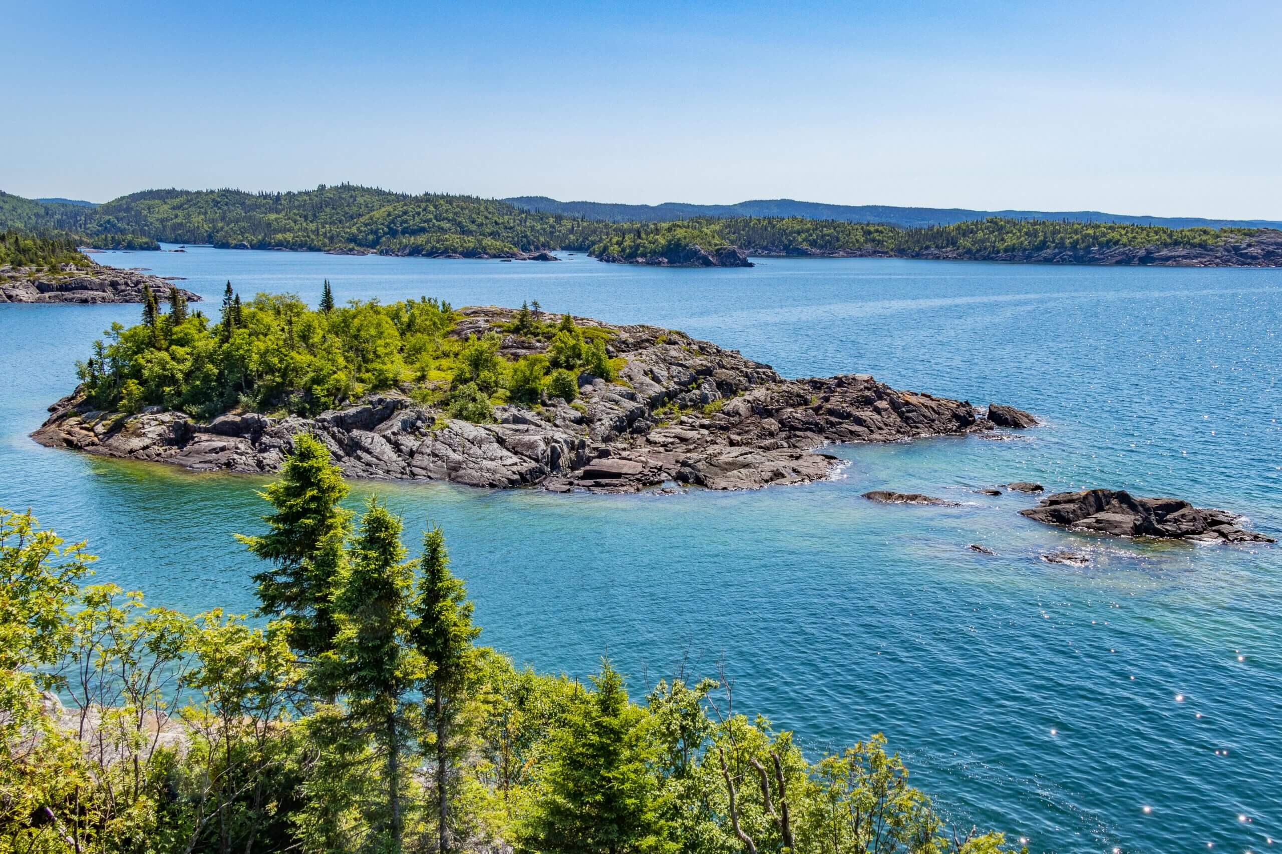
Kwewiskaning Coastal Trail connects Biigtigong Nishnaabeg (Pic River First Nations) to Neys Provincial Park in Ontario’s Superior Country. This is a 6.4 mile (10.4 km) point to point rugged trail on the coastline of Lake Superior. Kwewiskaning is Ojibway for “where the fish spawn”. At the trail’s south end at Pic River, there is a 900 foot boardwalk with two observation platforms offering stunning views of the lake.
Travel directions: North end of trail – From Highway 17, turn south at the junction with Highway 627, just east of Marathon. After about 3.7 miles (6km), turn right just after the train tracks. The south end of the trail begins at the boardwalk. South end of trail – Follow Highway 627 and make a right onto the gravel road just before crossing the bridge over Pic River to Pukaskwa National Park.
For a full list of hiking trails visit the Lake Superior Hiking Trails Blog