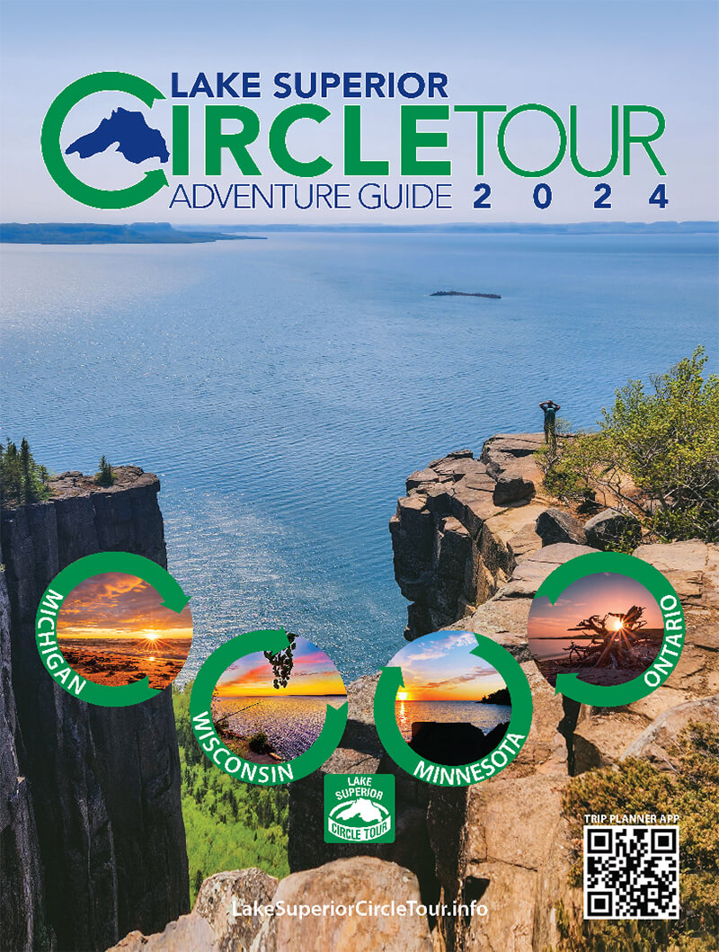
Ouimet Canyon Trail
Difficulty: Easy Ouimet Canyon Trail is located near Dorion in Ontario’s Superior Country. This is a 0.6 mile (1 km) loop trail within Ouimet Canyon Provincial Park. The trail features panoramic views of a 492 foot (150 m) wide gorge and sheer cliffs that drop 328 feet (100 m) straight down to the canyon floor. […]
Boulevard Lake Loop
Difficulty: Easy Boulevard Lake Loop is located in Thunder Bay in Ontario’s Superior Country. This is a paved 3.2 mile (5.3 km) loop trail that trails around Boulevard Lake. The Lake is in the middle of 650 acres of park area that includes an 18 hole disc golf course, beaches, concession area, mini-putt, paddleboat and […]
Mountain Portage Trail
Difficulty: Easy Mountain Portage Trail is located in Kakabeka in Ontario’s Superior Country. This is a 0.77 miles (1.25 km) loop trail within Kakabeka Falls Provincial Park. This scenic trail is paved and board-walked with platform lookouts over looking Kakabeka Falls and gorge and the Kaministiquia River. The trail is part of the historic portage […]
High Falls Trail
Difficulty: Easy High Falls Trail is located near Grand Portage in Minnesota’s Cook County. This is a 1.1 mile (1.9 km) out and back trail within Grand Portage State Park. The trail to the falls begins at the parking lot at the park’s visitor center and is paved and board-walked through the majestic boreal forest […]
John Rowswell Hub Trail
Difficulty: Easy John Rowswell Hub Trail is located in Sault Ste. Marie in Ontario’s Algoma Country. This is a 15.5 mile (25 km) multi use, non-motorized trail system that connects considerable points of interest. Cycle, walk or jog along this paved pathway that runs through and around the city. Some of this trails significant points […]
Lake Walk
Difficulty: Easy The Lake Walk is located in Duluth in Minnesota’s St. Louis County. This is a 15.2 mile (24.6 km) out and back asphalt and boardwalk trail along Lake Superior. The trail begins at Canal Park and ends at 61st Avenue East just above Brighton Beach. During your stroll or bike, you will be […]
Willard Munger State Trail
Difficulty: Easy The Willard Munger State Trail is located near Duluth in Minnesota’s St. Louis County. This is a 14.4 mile (23.3 km) point to point paved multi-use trail between Duluth and Carlton. Travel through rocky cliffs and over the St. Louis River Gorge. The first 6 miles is an off road paved trail and […]
Osaugie Trail
Difficulty: Easy The Osaugie Trail is located in Superior in Wisconsin’s Douglas County. This is a 10 mile (16 km) out and back multi-use paved trail that takes you past harbor and city views. Watch as ships come through the channel at Wisconsin Point as you stroll, run or bike along this trail. Leased dogs […]
Millennium Trail
Difficulty: Easy The Millennium Trail is located in Superior in Wisconsin’s Douglas County. This is a 5 mile (8 km) out and back trail multi-use trail within the Superior Municipal Forest. It is a 10 foot wide blacktop trail. 1.6 miles of the trail are strictly trail and the remaining section follows shoulder lanes along […]
Park Point Nature Trail
Difficulty: Easy Park Point Nature Trail is located in Duluth in Minnesota’s St. Louis County. This is a 4.4 mile (7.2 km) out and back trail that begins at the Park Point Beach House and continues to the end of Park Point where the original opening to the bay is. The lighthouse on the left […]
Black River Waterfalls Trails
Difficulty: Moderate The Black River Waterfalls Trails are located north of Bessemer in Michigan’s Gogebic County. Along the Black River National Scenic By-Way, within the Ottawa National Forest, you will find a series of five awe inspiring waterfalls. Great Conglomerate is the first of the five beginning upstream of the river. The trail is about […]
Lake of the Clouds Trail
Difficulty: Easy Lake of the Clouds Trail is located near Ontonagon in Michigan’s Gogebic County. This is a 1.4 mile (2.3 km) out and back trail within Porcupine Mountains Wilderness State Park. Lake of the Clouds is the most photographed feature in park. It can be easily reached by a fully accessible overlook. It can […]


